
HeatView
Heat is the fastest-growing climate hazard affecting assets, communities and infrastructure.
HeatView provides asset-level heat hazard intelligence that identifies locations susceptible to extreme heat under current and future climate conditions.

What HeatView Delivers
HeatView measures the conditions that drive heat accumulation, not simply recorded temperature.
Property-Level Heat Intelligence
Identify locations susceptible to elevated heat stress at a scale aligned to real-world assets.
Nationally Consistent Screening
Compare heat hazard across portfolios, regions and communities using a common framework.
Future Climate Scenarios
Understand how heat hazard may change under future climate conditions.
Transparent Heat Scores
Clear and explainable classifications designed for governance and decision-making.
UK-Wide Coverage
Consistent heat intelligence across the entire United Kingdom.
Enterprise-Ready Delivery
Available through GIS layers, APIs and data services.
Science-Led Heat Modelling
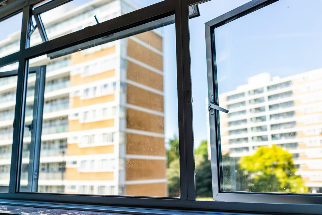
HeatView combines Earth Observation, land cover, vegetation, surface characteristics and climate projections to model how the built and natural environment influences heat retention and heat stress. Unlike broad regional temperature datasets, HeatView captures local environmental differences that drive real-world heat conditions.
Model Characteristics
Hazard-Focused Output
Measures heat hazard without assumptions regarding vulnerability, occupancy or financial loss.
Native modelling approach
Built from observed environmental conditions and climate projections rather than broad regional averages.
Transparent and Auditable
Explainable methodologies suitable for governance, validation and regulatory reporting.
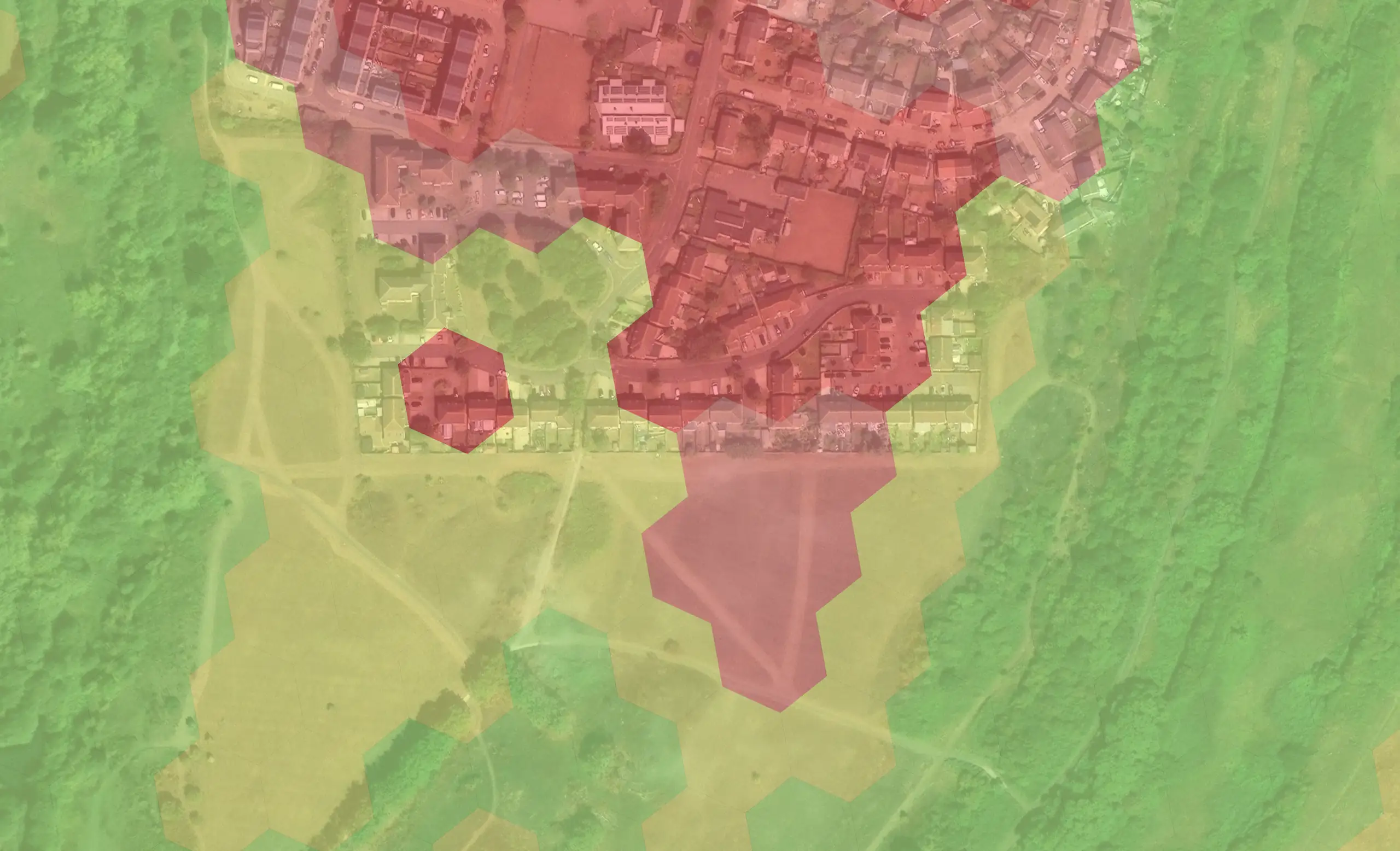
Medium Heat Stress Susceptibility
Land parcel covered by trees and grass, providing important local cooling within the neighbouring built up area. The vegetation here helps to reduce temperatures across the surroundings.
Very High Heat Stress Susceptibility
Property located in a local urban heat island, with small areas of very dry vegetation providing very limited cooling. There are no areas shaded by trees, and the high road density combined with extensive concrete coverage further contribute to overheating.
Sector Applications
Financial Services & Insurance
Support portfolio screening, ECL assessment, climate stress testing and underwriting while aligning with PRA SS5/25 expectations.
Housing Associations & Social Landlords
Identify heat-prone housing stock and prioritise retrofit, cooling and resilience investment.
Conveyancing & Property Risk
Support climate disclosures, due diligence and property risk reporting.
Local Authorities & Urban Planners
Target heat mitigation measures and support climate adaptation planning across communities.
Livv Housing Group Overheating Analysis
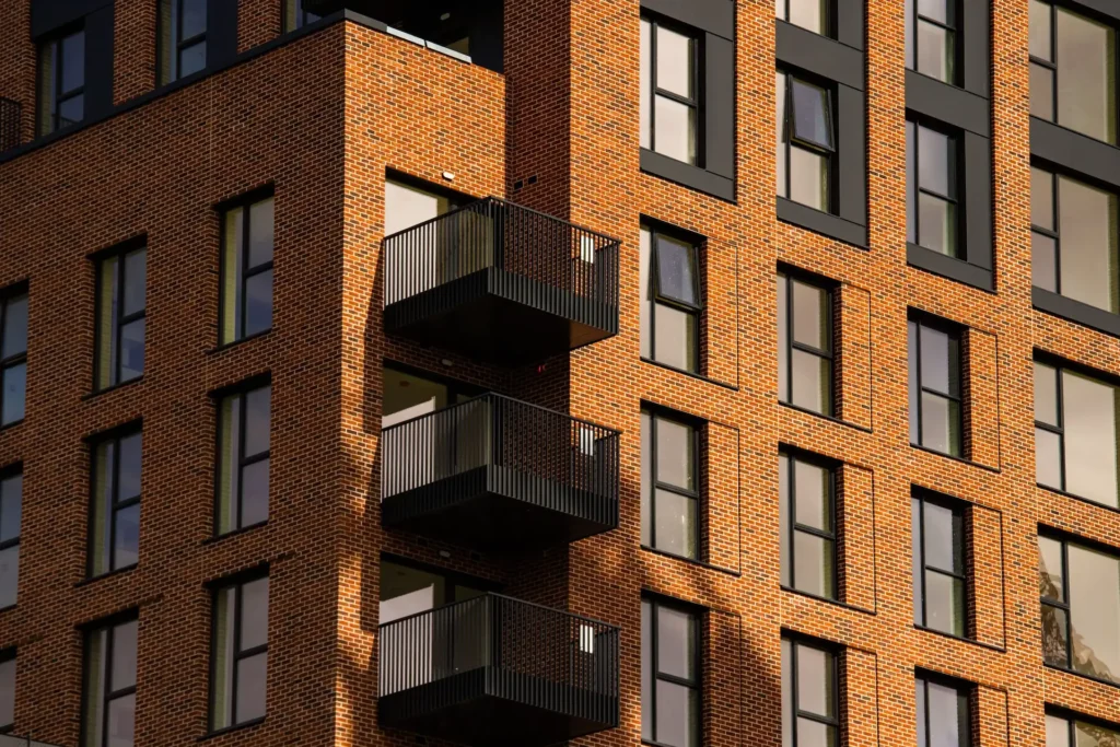
Livv Housing used HeatView to assess heat exposure across 13,000+ homes in the North West of England.
- Assessed overheating exposure across 13,000 homes using HeatView
- Identified that 5% of homes were at very high risk from Urban Heat Island effects, enabling targeted intervention
- Supported evidence-based estate investment decisions with potential long-term savings exceeding £1 million
How It Works
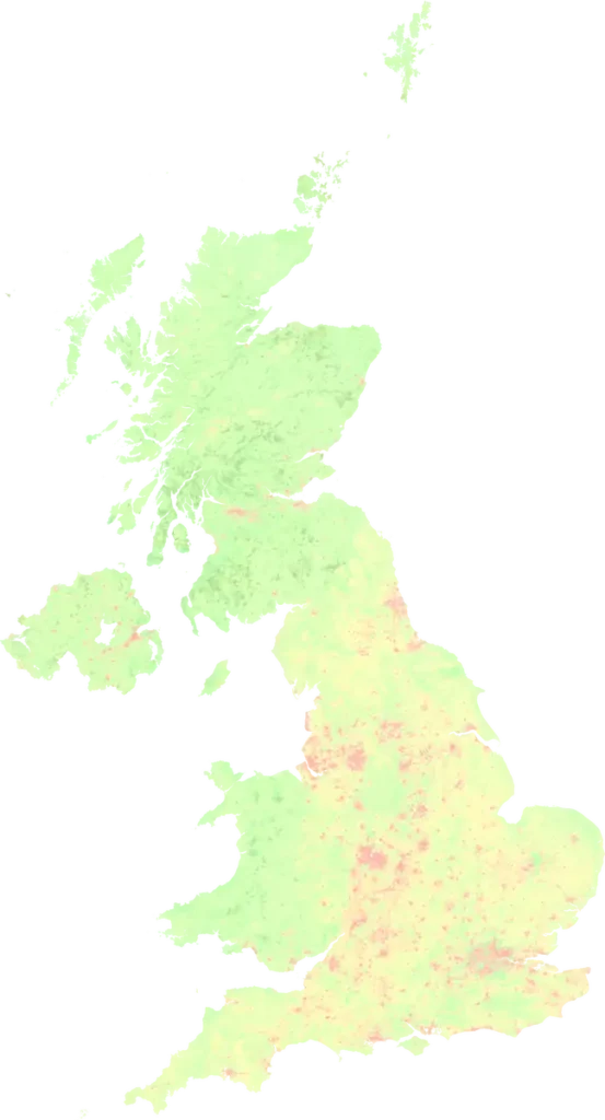
HeatView integrates Earth Observation, land cover, vegetation cover, surface characteristics and climate projections to model the environmental factors that influence heat retention and heat stress.
Outputs provide a consistent measure of relative heat hazard, enabling screening, comparison and decision-making across assets, portfolios and regions.
Why HeatView?
Built for decision-making
Designed for direct use in financial, infrastructure, and planning workflows
Consistent and comparable
Nationally standardised scoring enables portfolio and regional analysis
Transparent and defensible
Clear methodology supports governance, validation, and audit
Focused on material hazards
Extends beyond flood to address heat as an emerging and under-assessed risk