
DroughtView
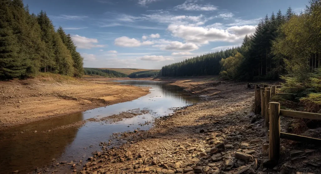
Drought is a rapidly increasing climate hazard affecting water resources, ecosystems, infrastructure and the built environment.
DroughtView provides asset-level drought hazard intelligence indicating the relative susceptibility of locations to drought conditions under current and future climate scenarios.
What DroughtView Delivers
Property-Level Drought Intelligence
Identify locations susceptible to drought conditions at a scale aligned to real-world assets.
Nationally Consistent Screening
Compare drought hazard across portfolios, regions and geographies using a common framework.
Future Climate Scenarios
Understand how drought susceptibility may change under future climate conditions.
Transparent Hazard Scores
Clear and explainable classifications designed for governance and decision-making.
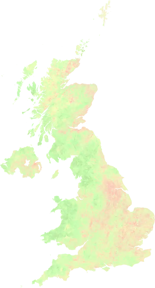
UK-Wide Coverage
Consistent drought intelligence across the entire United Kingdom.
Enterprise-Ready Delivery
Available through GIS layers, APIs and data services.
Science-Led Drought Modelling
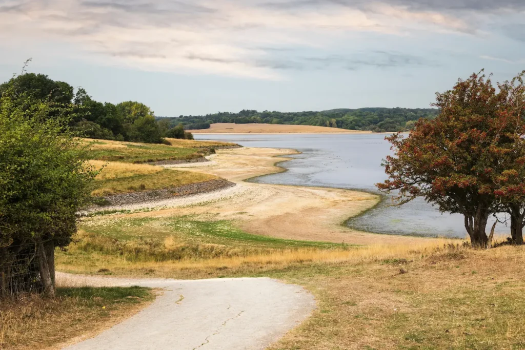
DroughtView combines Earth Observation, soil moisture, land cover and hydrological data to identify the environmental conditions that drive drought susceptibility. Unlike simple rainfall-based measures, DroughtView reflects how landscapes respond to prolonged water stress.
Model Characteristics
Hazard-Focused Output
Measures drought hazard without assumptions regarding economic loss, asset damage or operational impacts.
Native modelling approach
Built from observed environmental conditions and climate projections rather than broad regional proxies.
Transparent and Auditable
Explainable methodologies suitable for governance, validation and regulatory reporting.
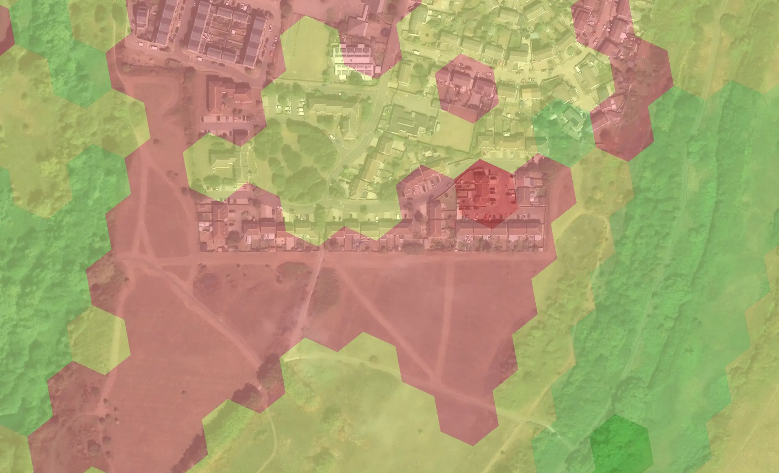
Medium Drought Susceptibility
Properties with back gardens and surrounding areas covered by trees and grassland in moderate condition. Significant drought episodes have not been experienced in the past but drought periods are anticipated in the future as temperatures rise.
High Drought Susceptibility
Land parcel showing a pattern of dry vegetation conditions and water scarcity year on year. Drought is currently experienced and drought events are likely to continue to impact here in the future.
Sector Applications
Financial Services & Insurance
Support portfolio screening, ECL assessment, climate stress testing and underwriting while aligning with PRA SS5/25 expectations.
Housing & Planning
Identify areas susceptible to drought-related ground movement and support asset management and planning decisions.
Land Management & Conservation
Assess exposure to water stress and prioritise resilience, restoration and land management interventions.
Rebalancing the Climate Peril Lens
Dry perils are growing systemic climate hazards, with significant implications for property, lending, insurance and resilience planning.
- Drought and subsidence affect far more properties than high flood risk
- Climate change is increasing the frequency and severity of drought conditions
- Financial institutions must assess drought alongside other material climate perils

How It Works
DroughtView integrates Earth Observation, soil moisture indicators, land cover, hydrological characteristics and climate projections to model the environmental factors that influence drought susceptibility. Outputs provide a consistent measure of relative drought hazard, enabling screening, comparison and decision-making across assets, portfolios and regions.
Why DroughtView?
Extends beyond traditional flood risk
Addresses drought as an emerging and under-assessed hazard in the UK.
Consistent and comparable
Benchmark assets, portfolios and regions using a common framework.
Transparent and defensible
Support governance, validation and regulatory reporting requirements.
Designed for integration
Supports financial, infrastructure, and land management workflows.