
Skip to content
Map Impact
  • Products
    • BiodiversityView
    • DroughtView
    • HeatView
    • WildfireView
  • About
  • Insights & Resources
    • Case Studies
    • White Papers
    • Insights
    • News
  • Products
    • BiodiversityView
    • DroughtView
    • HeatView
    • WildfireView
  • About us
  • Insights & Resources
    • Case Studies
    • White Papers
    • Insights
    • News
  • Contact us
  • Request a Demo
Contact
Image
Case Study August 8, 2026

Places for People

Project Impact

Of assets located in High or Very High susceptibility areas 30.6%

Key Deliverables

  • 4,000 homes assessed
  • Property-level hazard scoring applied consistently across regions
  • Identified concentration of exposure within higher susceptibility bands

Share

LinkedIn Email

Related Resources

Explore more of our latest insights.
View all News & Insights
AdobeStock
Case Study

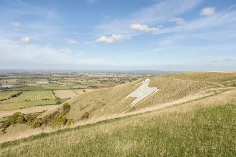
Local Nature Recovery Strategy

Map Impact was commissioned by Wiltshire Council to support the mapping component of their Local Nature Recovery Strategy (LNRS).

Read More
Pexels atelierbyvineeth
Case Study

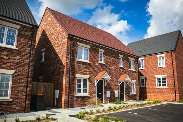
Livv Housing Group Overheating Analysis

Livv Housing used HeatView to assess heat exposure across 13,000+ homes in the North West of England.
Read More
James feaver O4Ywu YNj5A unsplash
Case Study

Climate Intelligence for Conveyancers

Martello partnered with Map Impact to strengthen the climate risk intelligence underpinning its environmental search reports for conveyancers.

Read More
View all News & Insights
Map Impact

High resolution location data for clear and concise climate risk and environmental decision making.

  • Products
  • BiodiversityView
  • HeatView
  • WildfireView
  • DroughtView
  • Resources
  • Case Studies
  • White Papers
  • Insights
  • News
  • Company
  • About Us
  • Legal
  • Privacy Policy
  • Terms

© Map Impact 2026. BiodiversityView is a registered UK trade mark of Map Impact; HeatView, DroughtView and WildfireView have UK trade marks pending.
Company reg number: 14656314